Recently I've been asked for the consideration of areas around schools, in this particular case in the area of London (UK):

There's no dedicated FeatureLayer for the data, but these restrictions seem to be part of the regular PTV_TruckAttributes and modelled with time dependency.
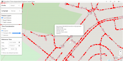
time domain: [[[(t2){d5}]*[(h14m45){h1m15}]]+[[(t2){d5}]*[(h8){h1m15}]]]
relevant by time: false
load type: goods
drive type: motor vehicle
opening: 0
This
GDF time domain's meaning is:
- [[(t2){d5}]*[(h14m45){h1m15}]] : weekdays between 14:45 - 16:00
- [[(t2){d5}]*[(h8){h1m15}]] : weekdays between 08:00 - 09:15
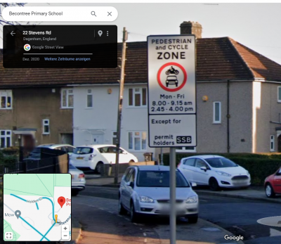
Here's an example from this school list - the Becontree Primary School:

- Becontree Primary School
(51.5566370, 0.1175894)
The following screenshots are based on the
xServer2 Visualize Time-dependent Feature Layer Data Showcase

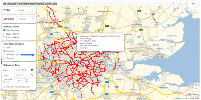
- Area displayed in very rough level

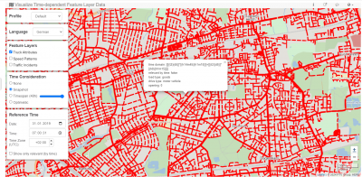
- Area displayed in rough level

- Area displayed in close level
Bernd