Page 1 of 1
CHINA map screenshots / webinar 7.6.2016
Posted: Wed Jun 08, 2016 8:16 am
by Bernd Welter
Hello together,
yesterday we provided a webinar dealing with the new CHINESE map which is available as cloud service within PTV xServer INTERNET. I'd like to add this thread just to provide some screenshots generated on this new service.
Feel free to ask for more.
Best regards Bernd
About
geocoding
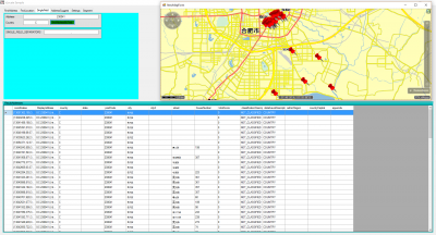
- Shows some geocoder output in the grid and in the .NET control based map. As we mentioned during the webinar the current implementation of the service supports single field search (finndAddressByText). As you can see in the grid, the address data is returned in chinese character sets.
About
generic mapping
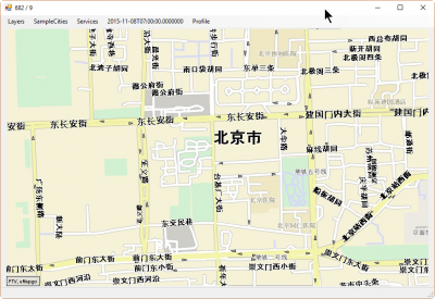
- Profile = sandbox
Scale = close
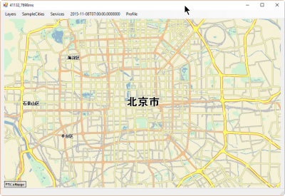
- Profile = sandbox
Scale = medium
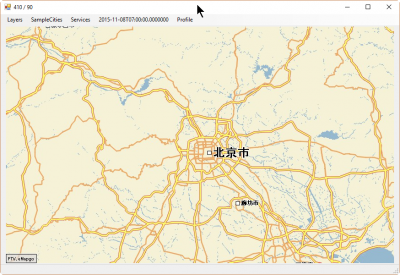
- Profile = sandbox
Scale = large
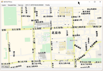
- Profile = silkysand
Scale = close
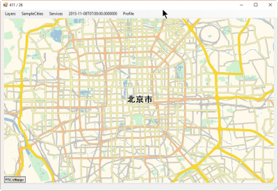
- Profile = silkysand
Scale = medium
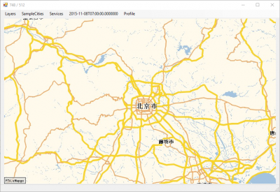
- Profile = silkysand
Scale = large
About
routing:
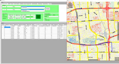
- Generated with xRoute.calulateRoute
About
tour planning:
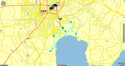
- Tour optimization based on xTour.planBasicTours
Re: CHINA map screenshots / webinar 7.6.2016
Posted: Wed Jun 08, 2016 8:41 am
by Bernd Welter
And here are some questions that have been asked during the webinar (including the answers

):
Further information is available at
http://xserver.ptvgroup.com/en-uk/cookb ... formation/
- Question: "Where is the map hosted?"
Yes, it is hosted in China. Actually it has to. The chinese government / the laws demand that the data stays in the country and that the processing of the data is monitored by public authorities. So the webservices provide access to "results" but not to "generic data".
- Question: "Is it a must to have the coordination to find the relevant route? Or addresses sufficient?"
The only service that deals with addresses (postcodes, city names, streetnames, ...) is xLocate - this service provides the coordinates that are required for any other service such as mapping, routing and tour optimization. So if you want to build a routing interface that displays a route via 2 waypoints in a map you have to proceed as follows:
- retrieve the coordinates from xLocate.findAddressByText
- gather the routing polygon via xRoute.calculateRoute
- display the polygon on maps using xMap
In fact this is a quite generic question and is also relevant for other maps as well. But what is quite important to know: As long as you play within the chinese services you don't need to transfer coordinates because the output coordinates of one service are proper input for the succeeding one. But if you want to use external coordinates (e.g. OG_GEODECIMAL) you need to transfer the data into the specific CHINESE format as it is described at http://xserver.ptvgroup.com/en-uk/cookb ... formation/
Best regards Bernd