Hi there,
today I got asked whether it is possible to request only the truck attributes (PTV_TruckAttributes) with a REST call so the result tile would not contain any standard layers such as label or transport.
Well: here's the solution: just do not ask for what you don't want to see

Here's the same geography rendered with different layer sets:

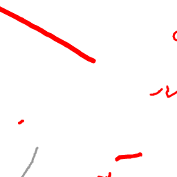
- /services/rest/XMap/tile/12/2124/1366?layers=PTV_TruckAttributes
- PTV_TruckAttributes-only.png (2.11 KiB) Viewed 13774 times

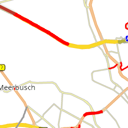
- /services/rest/XMap/tile/12/2124/1366?layers=PTV_TruckAttributes,labels,transport
- PTV_TruckAttributes-labels,transport.png (9.06 KiB) Viewed 13774 times

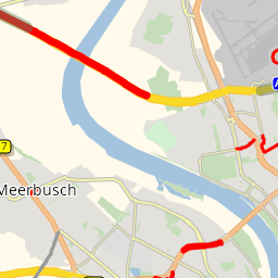
- /services/rest/XMap/tile/12/2124/1366?layers=PTV_TruckAttributes,labels,transport,background
- PTV_TruckAttributes-labels,transport,background.png (14.16 KiB) Viewed 13774 times

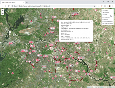
- HERE Satellite images mashed up with PTV_TrafficIncidents
Best regards,
Bernd