Hi there,
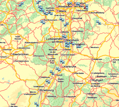
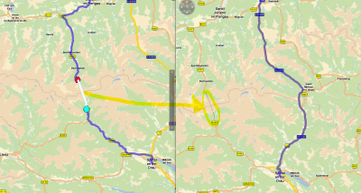
just for your information: our xMap server is able to visualize not only a thin polygon line for the ferries but also icons for various combined transports such as Ferries and PiggyBacks.

- Ferries - just a rough overview of some national ferries in the Rhein-Neckar-Area

- PiggyBacks (Austria) - also included in the routing polygon / geometry
Just use the static layer "combinedTransports" and apply the render profile "CombinedTransports".
Best regards,
Bernd